
Lab notes · Drones & geospatial
From pixels to latitude and longitude: object detection you can put on a map
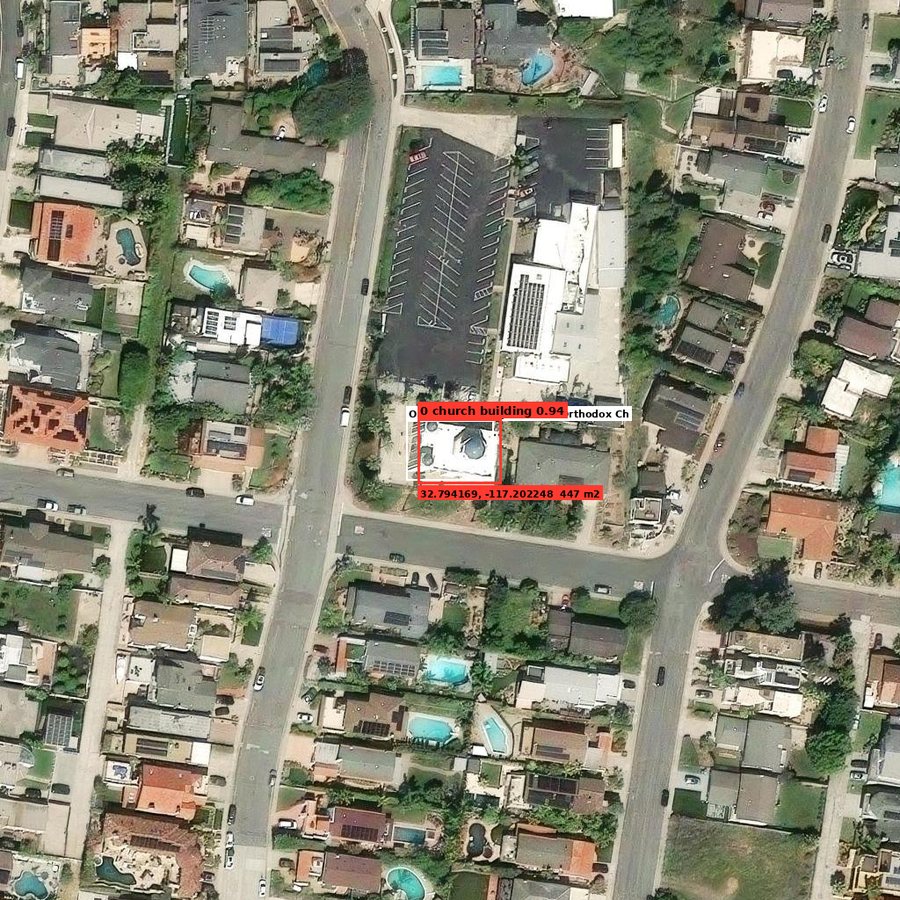
We have been working with vision-language models to see how well they find objects in aerial images. They found them with no problem. Detection was the easy part.
The hard part: an image is just pixels, with no latitude or longitude. A screenshot has nothing to convert them with — no map projection, no scale. A GeoTIFF does carry that information, and that is what turns pixels into real coordinates.
So we built a “translator” and ran it on an aerial image of St. George Serbian Orthodox Church in San Diego. Fifteen objects got real coordinates, and the church landed about 3 metres from its known position.
The main takeaway: once an object has coordinates, it also has a size, and a size can be checked. One “car” measured 12 metres long. The model was 74% confident. Geometry said no.
Coordinates turn a picture with boxes into a measured, mapped inventory — and give you a free sanity check on every detection.
Capability demo built by IPD Scientific. More lab notes →
Have footage like this?
Book a free 15-minute call, or email us a sample image or short clip. We'll tell you honestly whether computer vision can do the job.